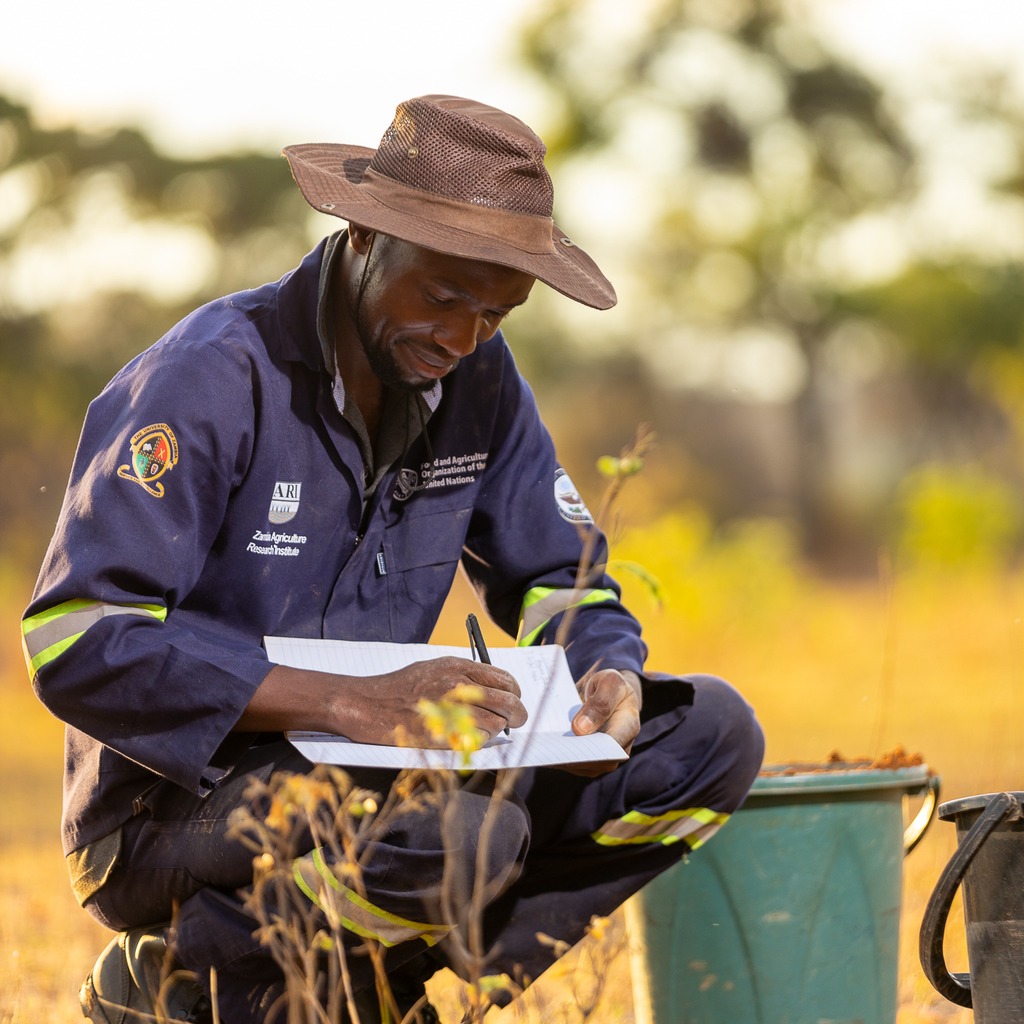
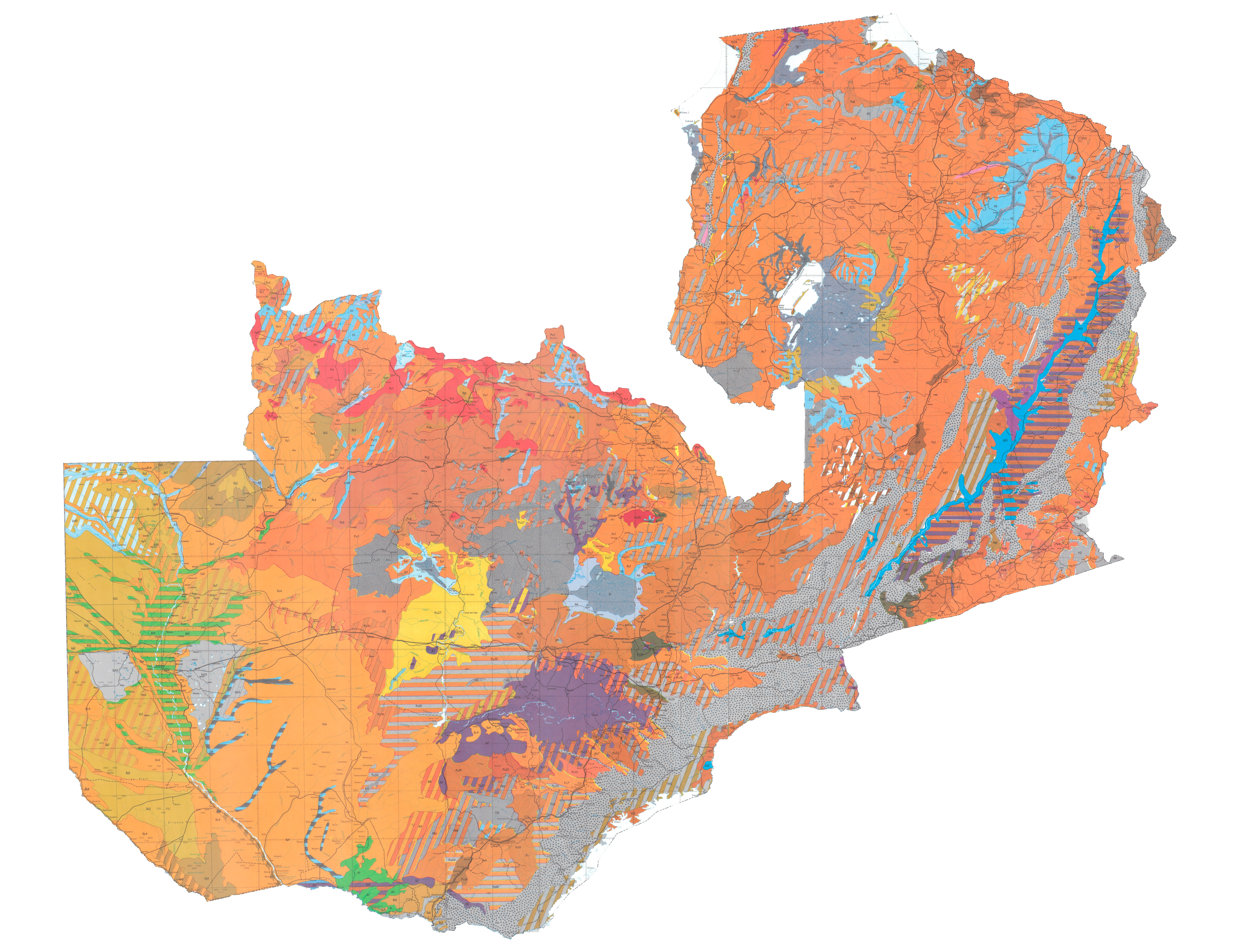
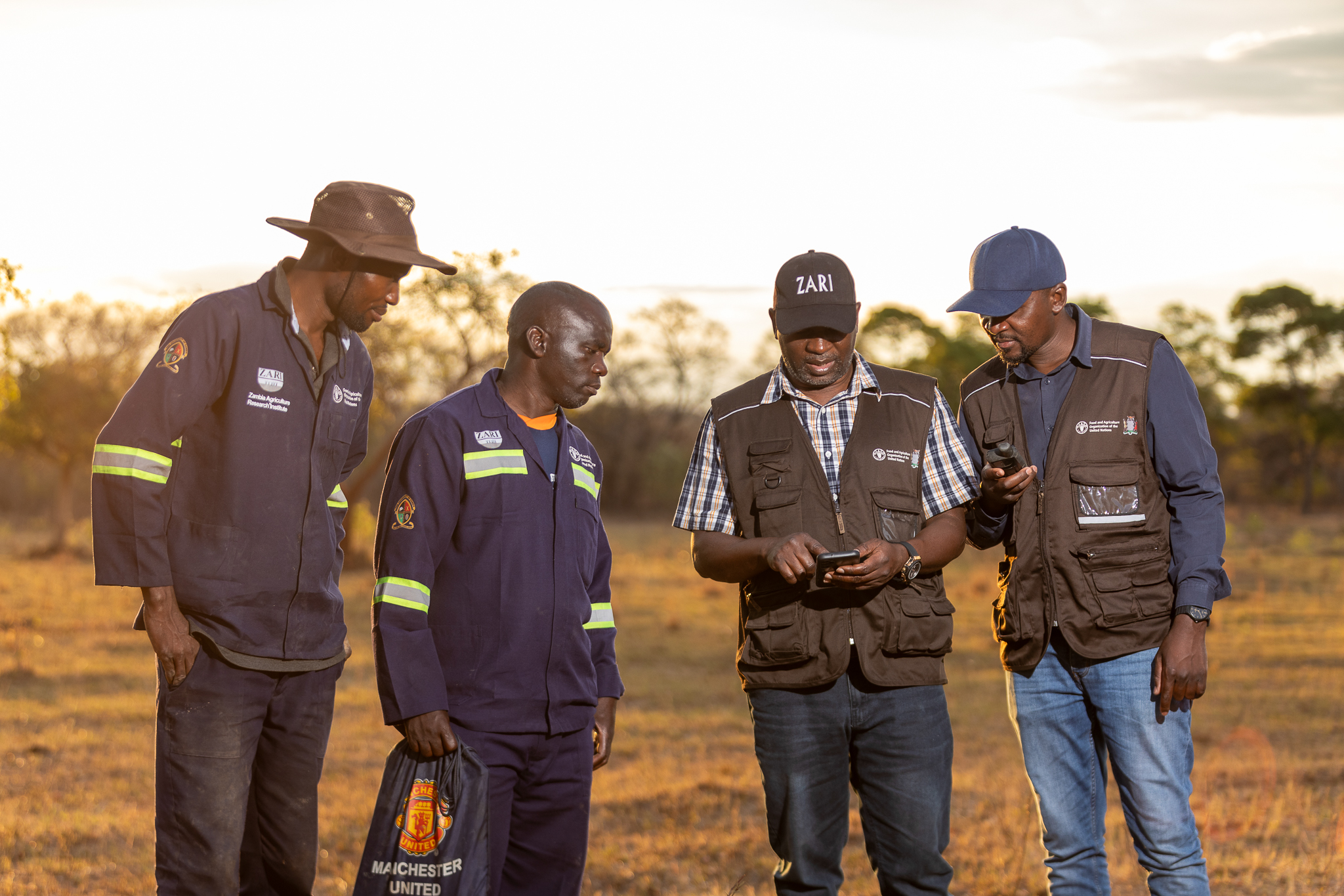
This includes generating high-resolution soil maps for individual farms, harmonized maps for districts, and national-scale compilations. Each map characterizes key attributes—such as soil classification, texture, depth, organic carbon, pH, nutrient availability, salinity/sodicity risks, drainage classes, and erosion susceptibility—produced through field surveys, lab analyses, and GIS modeling. The outputs support site-specific fertilizer recommendations, water and residue management, land-use planning, and evidence-based resource allocation.